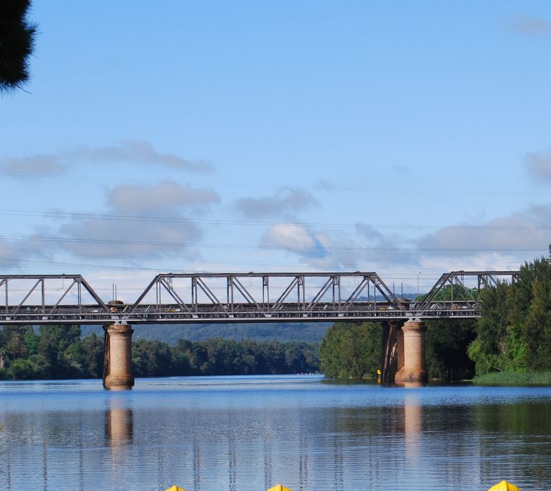
Photo: Nepean River and the Blue Mountains
Previous The Rum Hospital Next St Mary’s Cathedral
Maps of Australia
- Australia Maps
- Australia Map
- Australia Map Showing Tasmania
- Tasmania Map
- Time Zones Map for Australia
- Airports
- Matthew Flinders Cat
Parks, Highways, Rail
- Australia National Parks Map
- Australia National Highways Map
- Australia Rail Map
- Australia States Map
Canberra and the ACT
New South Wales
- Maps of New South Wales Australia
- Map of NSW Australia
- Sydney CBD Map
- Map of Greater Sydney Surrounds
- Cruises on Sydney Harbour
- The Long Paddock
Northern Territory
Queensland
- Queensland Maps
- Queensland Map
- Brisbane Map Queensland Places
- Greater Brisbane Map, Queensland
- Gold Coast Map Queensland
- Surfers Paradise Map Queensland Tourist Places
- Tropical North - Cairns Map
South Australia
- Maps of South Australia and SA Tourist Information
- South Australia Map SA
- Greater Adelaide Map
- Adelaide CBD Map - City Attractions, Shopping, Info
- Renmark
Tasmania
Victoria
- Map of Victoria Australia
- Melbourne City Map
- Phillip Island Map Victoria Tourist Places
- Western Australia Maps - WA Regions and Places to Visit
Western Australia
Sandstone Building Blocks
Early Geology
The whole Sydney basin region is covered with sandstone, deposited over millions of years during the many times the region was submerged. More than 250 million years ago, in fact, it had achieved depths up to Lithgow, located in the Blue Mountains.
Even after the ocean receded, rivers that flowed from regions further west fed even more sand here. Millions of years of swamps and forests became the coal deposits that still sit underneath Sydney today.
As time went on, more sandstone covered the coal, and, during the millions of years of dinosaurs, volcanoes erupted at various places throughout the Sydney Region, the remains of more than ninety have been found here so far.
Last but not least, a series of volcanic fissures covered the region with lava, up to fifty to sixty metres thick in places. However, the area now known as the Blue Mountains was pushed up, isolating the Sydney basin from the rest of Australia.
Now, the only way to go west is via the Blue Mountains, over the Nepean River, or along a narrow route along the coast, north or south.
Sandstone Treasures
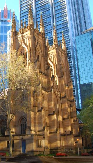
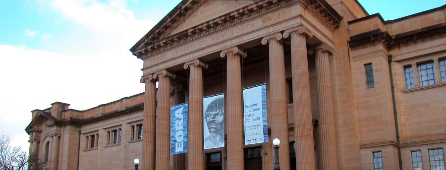
One can find many buildings made from the yellow sandstone that was mined in Sydney in various places in the city and surrounds. These are from landmark buildings such as St. Mary’ Cathedral, Sydney Town Hall and Hyde Park Barracks.
More Sydney Places
Main Photo: Nepean River and the Blue Mountains
Search the Australia Tourist Guide |


