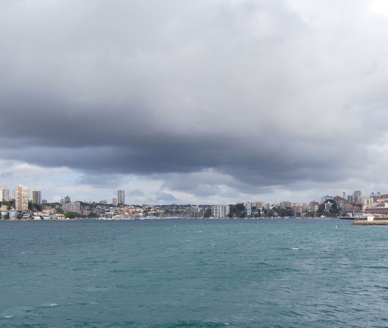
Photo: Winter Rain Dissipates - Double Bay and Rushcutters Bay (left) on Sydney Harbour
Previous Double Bay Next Federation Point
About Sydney NSW
- Australia Tourist Information
- Museum of Sydney
- Inner City Places
- Inner City Suburbs
- Circular Quay Restaurants
Attractions
Shopping Places
Sydney Places
- Sydney Region NSW
- Parramatta Places to Eat
- Sydney Suburbs
- Sydney Airport
- Beaches at Cronulla
- Bondi Junction Restaurants
Popular Beaches
Activities
Visitor Maps
Places to Eat
- Inner Sydney Places to Eat
- Thai Town Places to Eat
- Sydney Cove Restaurants
- Sydney Chinatown Restaurants
- Darling Harbour Restaurants
- Newtown Places to Eat
- Restaurants in Manly Beach
- Darlinghurst Restaurants Sydney
- Camperdown Restaurants
- Sydney City Places to Eat
- Botany Bay Restaurants
Getting Around
Sydney Surrounds
About New South Wales
- NSW Tourist Guide
- NSW Map and Regional Maps
- Restaurants in Mittagong NSW
- Berrima
- Thredbo Places to Eat
Native Animals
Australia Things to Do
Elizabeth Bay
On the foreshore of Sydney Harbour, between Garden Island and Rushcutters Bay, Elizabeth Bay has been a desirable place to live for Sydneysiders since the beginning. Close to the city centre with easy access not only by ferry but bus from:
Chic cafés, art galleries, high fashion shopping and antique galleries are found here.. Then, as today, homes with water views commanded a hefty real estate price tags in Sydney.
Elizabeth Bay House
This colonial style home dates back to 1835, when it was celebrated as the finest house in the colony. At the time it represented what the settlers could achieve in their new colony of New South Wales.
This house still commands great views of the harbour. It originally had a fifty-four acres of garden, extending all the way to the water, part of it has now become the Arthur McElhone Reserve.
The home, extensively refurbished as well as refurnished to suit the period style of the day when it was the residence of NSW Colonial Secretary Alexander Macleay, for whom it was built.
Photo: a wide angle shot showing Garden Island. Elizabeth Bay is on the left, Edgecliffe is on the left extreme, marked with a number of high rises.
Further Reading
See the Sydney City Map Map of Sydney CBD.
Main Photo: Winter Rain Dissipates - Double Bay and Rushcutters Bay (left) on Sydney Harbour
Search the Australia Tourist Guide |

Photo: Silhouette of Fort Denison

